|
To create a new Proposed District, open the desired Survey project details page, and click the Proposed District tab. Next, click the New District button .png) which will display the following form. which will display the following form.
.png)
The form is a scrollable dialog with a map display at the top. The map display is automatically zoomed to the extent of the survey area of the current survey project (19SR00104), with the survey boundary displayed as a red polygon. The first step is to define the boundary of the Proposed District. First zoom the map to the area of the proposed district such that you will be able to digitize the boundary accurately. If an address, intersection or similar place name is known, enter it into the Find Address or Place control in the upper right corner of the map. Also, the Zoom In/Out buttons (Plus and minus) in the upper left corner can be used to zoom the map in and out respectively. Finally, holding the SHIFT key down while dragging a rectangle on the map display (then releasing the mouse button) zooms to the extent of the rectangle drawn.
Once you have navigated the map to the proper location (at a reasonable level of detail to outline the district), click the Draw Polygon button below the map. The tracing tool is activated which will change the cursor, enabling the user to start tracing the boundary. Click each point along the district boundary, and when done, double-click the last point on the boundary to complete your polygon.
Next, scroll down on the dialog to show the rest of the form as shown in the image below.
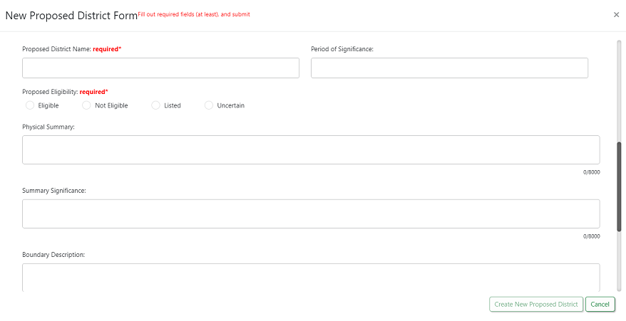
It is important to note that the fields on this form, are identical to the fields on the Survey123 form (with the exception that there is no photograph section on this form). Once the user has entered the required fields (Proposed District Name and Proposed Eligibility), the Create New Proposed District button can be clicked in the lower right corner. Note: The default status of a proposed district is "Proposed".
Once the new Proposed District has been created within this Survey project, street scape photos can be collected in the field using the Survey123 Inbox function.
|